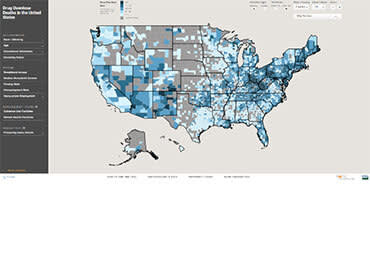
The Rural Health Map is a mapping tool that allows users to overlay health-related measures with key sociodemographic and economic variables. Users can filter the map to view either predominantly rural or urban counties. Data is presented at the county level and fact sheets are available comparing county data to state and national data. The fact sheets also include healthcare providers within each county and their respective addresses. Insights derived from this tool can be used to target resources and interventions, as well as inform efforts — particularly in rural areas.
Geographic coverage: County
